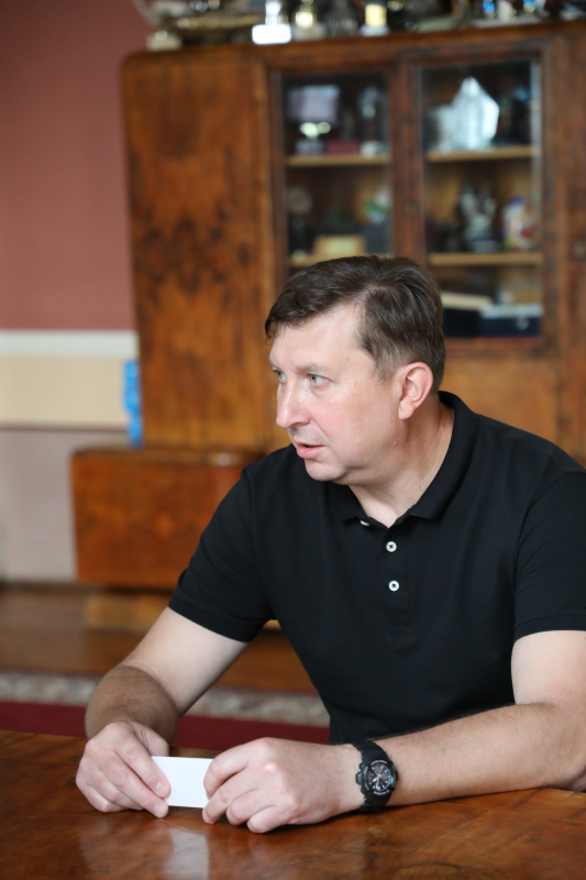
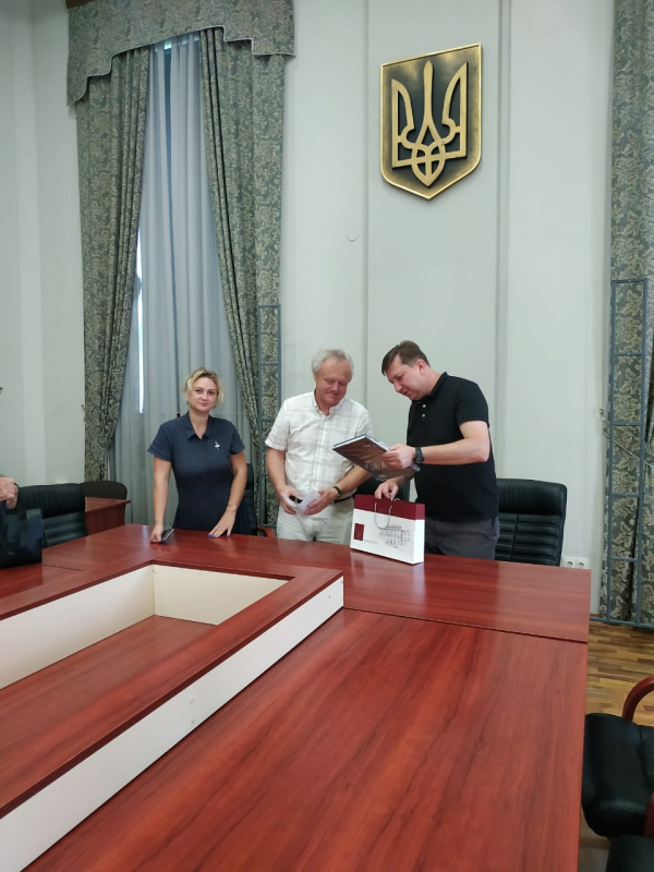
On August 4, at the meeting with Yurii Bobalo, rector of Lviv Polytechnic, and Kornylii Tretiak, director of the Institute of Geodesy, head of the land reform direction of the USAID (United States Agency for International Development) program for agrarian and rural development, Serhii Kubakh handed over educational materials and sample documentation in the field of spatial planning, which were developed on the basis of USAID AGRO methodology.
― We will use these materials during the training of masters’ students in specialty 193 «Geodesy and Land Management», who will complete their studies at the end of 2022, as well as to upskill more than half a hundred land surveying engineers and surveyors, explained at the Institute of Geodesy.
It is worth noting that USAID is an independent agency of the US federal government that is responsible for US non-military assistance to other countries.
― The USAID AGRO program supported the development and adoption of legislation on spatial planning and the implementation of pilot projects, in particular in the Rohan and Pisochyn communities of the Kharkiv region, in order to develop best practices and help other communities, the state and donor projects, to implement new, modern tools of spatial development of territories as efficiently as possible, emphasized Serhii Kubakh at a meeting with representatives of the Institute of Geodesy.
It is important that spatial planning can become a tool for recovery and economic development of the post-war period.
― The use of spatial planning will make it possible to develop a comprehensive plan for the restoration of community territories, based on calculations and planning decisions, which will include damage assessment and the cost of territory reconstruction and land reclamation, based on community development priorities, emphasized Kornylii Tretiak.

